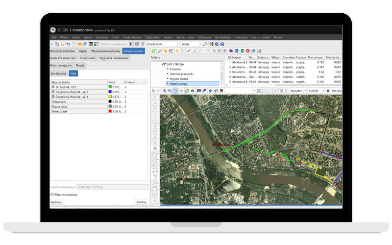
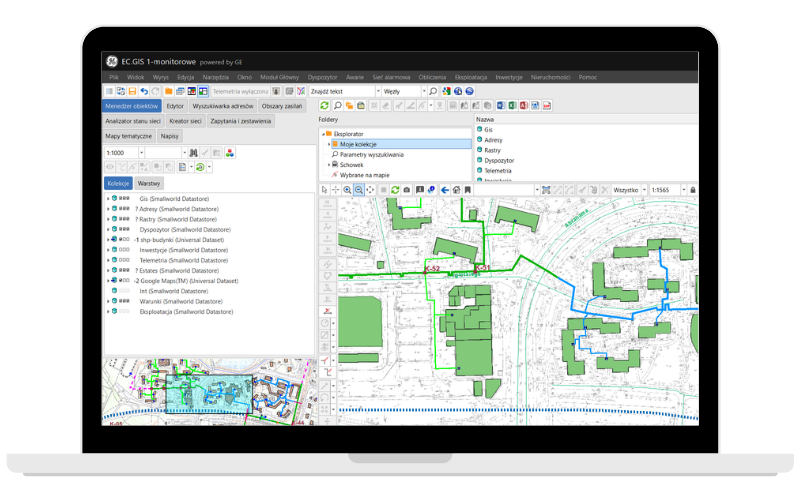
Reliable gas & pipeline infrastructure

Through integration with ERP-type applications, GDO/GTO systems provide full support for business processes that use network information.


The foundation for the management of all network assets in the gas companies.
Expanding the data model and basic functionality:
The EX module expands the Operations module and supports managing work in the Explosion Hazardous Areas. It creates an inventory of the EX devices, uses RFID marks, and determines future inspection dates depending on the device and type of the inspection. The system allows you to take photos of the devices and collect inspection documents. The EX module supports field worker teams and is adjusted to devices dedicated for work in the EX zones.
The Operations module supports routine network maintenance activities such as periodic inspections of the network assets and warehouse bases including registration of their technical condition. This allows you to analyze the technical condition of all of the technical assets and determine which objects need maintenance service.
The Outage Management module supports the whole process from identifying outage locations to determining devices needed to be shut down.
The Rights-of-way module helps to manage assets located along with the network. It supports managing the lifecycle of the claim cases, compensation cases, cost analyses, and real asset easement.
This module allows you to load, store, and manage geodetic data from external sources.
GDO Net and GTO Net provide an access to graphic and text data with a standard Internet browser.
This module displays layers directly from external sources, such as geodetic web services. The following data standards are supported: Google Maps, Open Street Map, WMTS, WMS, and WFS.
An app that automatically categorizes documents and describes them by their issue date and location. It creates a spatial database and allows the user to easily access documents and display them on a map.
A data integration platform for processing, validating, and automated transferring of data. Supports maintaining an up-to-date database. The information collected during fieldwork can be automatically moved to the system simplifying the identification of areas for expansion.
up to 30% reduction in planning time through accurate integrated physical and logical inventory
up to 8% reduction in new build costs due to better utilization of network resources
up to 40% productivity improvements in network design through process automation
up to 25% reduction in network downtime through rapid response to network alarms to locate faulty equipment accurately
up to 15% workforce productivity improvements through streamlined as-built update processes
up to 50% savings in provisioning time through automating processes for physical path assignment
Globema acts as the Authorized Partner and the Value Added Reseller of GE Energy Smallworld GIS software in several European countries. GE also acts as Globema worldwide reseller of Globema’s telecommunication modules (PRM, ONA, RNI, DCM, CATV Design). The cooperation covers Smallworld software development & implementation as well as consulting & maintenance services. Since 1997, Globema has conducted hundreds of smaller and larger software delivery, development, and implementation projects for customers from over 30 countries.


GE’s software manages 40% of global electricity. It is designed to help utilities and telecommunication companies to better operate, analyze and optimize their operations. Applications based on the GE Smallworld platform are used by over 700 utility service providers (energy, heating, gas & oil, water) across 40 countries worldwide.